Now Available: SF Bay Shore Inventory: Mapping for Sea Level Rise Regional Dataset
Apr 7, 2016
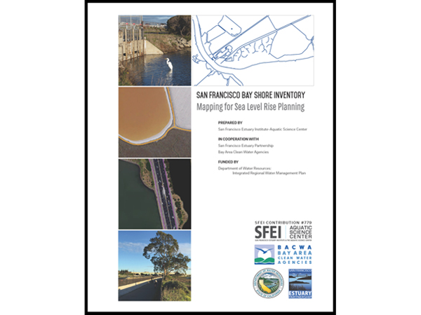
SFEI and the San Francisco Estuary Partnership are proud to announce the release of the SF Bay Shore Inventory: Mapping for Sea Level Rise. This dataset provides a comprehensive and consistent picture of today’s Bay shore (up to MHHW + 10ft) for all nine Bay Area counties. The mapping captures features which affect flooding and flood routing (e.g., engineered levees, berms, embankments, roads, wetlands, etc.). This project also identifies features fronted by wetlands and beaches or features that are artificially hardened (e.g., riprap). The dataset was recommended and shaped by local, state, and federal agencies to help inform regional planners of flood vulnerabilities, constraints for adaptation strategies, and where natural features can be maintained or expanded to provide coastal flood protection. We would like to thank the many individuals who provided direction, data, and feedback to create this important regional dataset.
The project report and dataset (GIS and Google Earth files) can be accessed here.
Source:
Associated Staff:
Other Contributors:
Samantha Nakata
Kristen Cayce
Programs and Focus Areas:
Environmental Informatics Program
Geographic Information Systems
Resilient Landscapes Program
Related Projects, News, and Events:
 San Francisco Bay Shore Inventory (Project)
SFEI is developing an online interactive map to support regional planning and assessment given accelerated sea level rise around the Bay.
 SFEI featured in LA Times about earthquake risk to San Francisco (News)
A recent story in the LA Times by Ron Lin underscores the newly identified threat that earthquakes pose to the San Francisco Bay waterfront. Under certain circumstances, the sea wall that currently protects the Embarcadero and its surrounding infrastructure could be dramatically compromised during a strong enough seismic event. The results could be capastrophic to a key driver of San Francisco's economy. And the fix to the vulnerability would be expensive at $3 billion.
 SFEI Developed the Bay Shoreline Flood Explorer for BCDC’s ART program, with More to Come (News)
Over the past year, SFEI has been working with the Bay Conservation and Development Commission's (BCDC) Adapting to Rising Tides (ART) program to develop their new Bay Shoreline Flood Explorer. SFEI’s Environmental Informatics team has designed and developed this public-facing and relevant web tool to highlight threats posed by sea level rise. The tool’s sea-level-rise data was created by AECOM, supported by the Metropolitan Transportation Commission and the Bay Area Toll Authority, and funded with support from greenhouse gas reduction funds.