Wetlands Regional Monitoring Project
 This Prop 50 - funded project was a three-year effort to monitor and track changes in Bay Area wetland condition. This wetland monitoring toolkit meets basic information needs for managing wetlands: to develop a scientific framework with standard methods for monitoring wetlands and for interpreting the results, and to regularly report the findings to the public. These monitoring tools are intended to help provide a public measure of the environmental costs or benefits of most wetland management actions.
The toolkit follows the EPA's three-level monitoring framework.
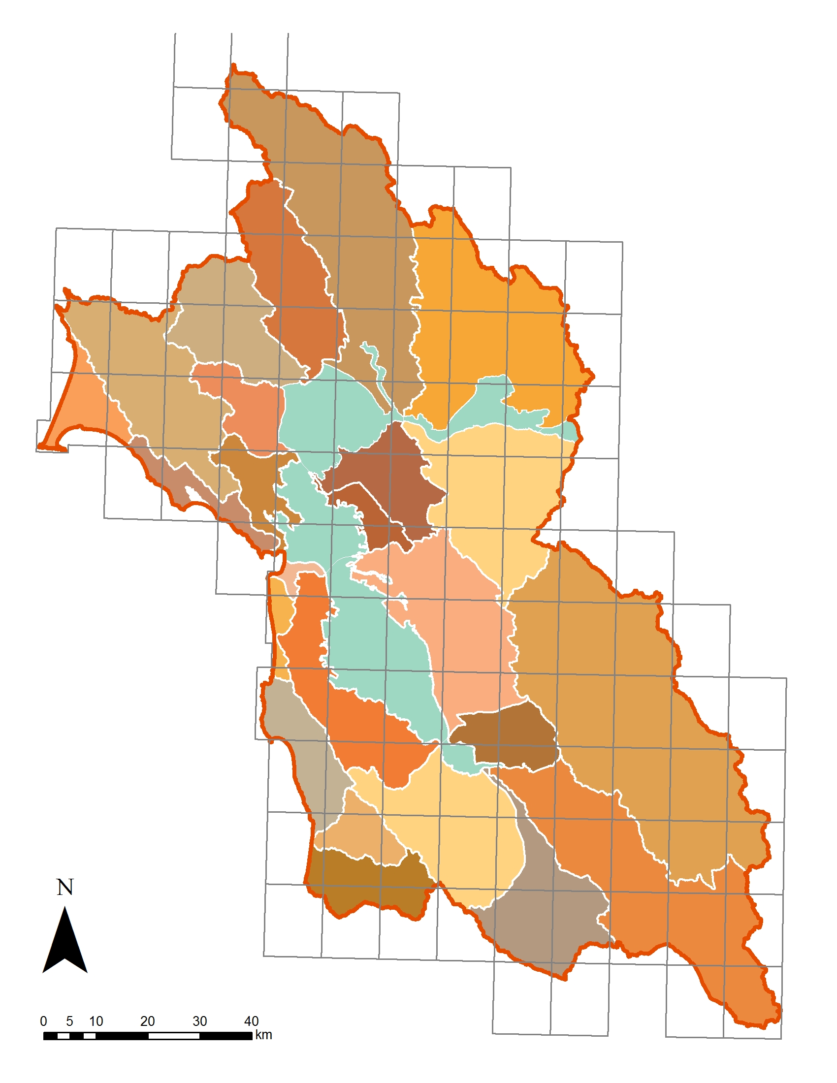
Level 1 is assessment at the landscape scale assessment using GIS, remote sensing, and historical ecology. The WRMP generated a Bay Area Aquatic Resources Inventory (BAARI) base map of natural channels, unnatural ditches, tidal wetlands, aquatic systems and riparian areas using standardized methods.
- BAARI fact sheet
- BAARI source imagery, resolution, and scale comparison
- Mapping standards
- Mapping progress
- Riparian Mapping Model
- Habitat typology crosswalk
Level 2 is cost-effective, rapid assessment of condition via the California Rapid Assessment Method (CRAM) Level 3 is intensive assessment of ecological function. This project considered Level 3 methods for monitoring and assessment of 1) mercury bioaccumulation using biosentinel species in riverine riparian areas and 2) standardized geomorphology methods for riverine systems.
- Application of biosentinel species for mercury monitoring, South Baylands Mercury Project article RMP Newsletter article December 2008
- Project Level 3 protocols
WRMP Prop 50 Science Advisory Group (SAG)
- Science Advisors
- Meetings
- July 24, 2009
- June 24, 2008
Learn more about the EPA's 1-2-3 monitoring and assessment framework (PDF)
Associated Staff:
Programs and Focus Areas:
Data Services
Information Technology Systems
Software Engineering
Resilient Landscapes Program
Wetland Monitoring & Assessment


