T-Sheet User Guide
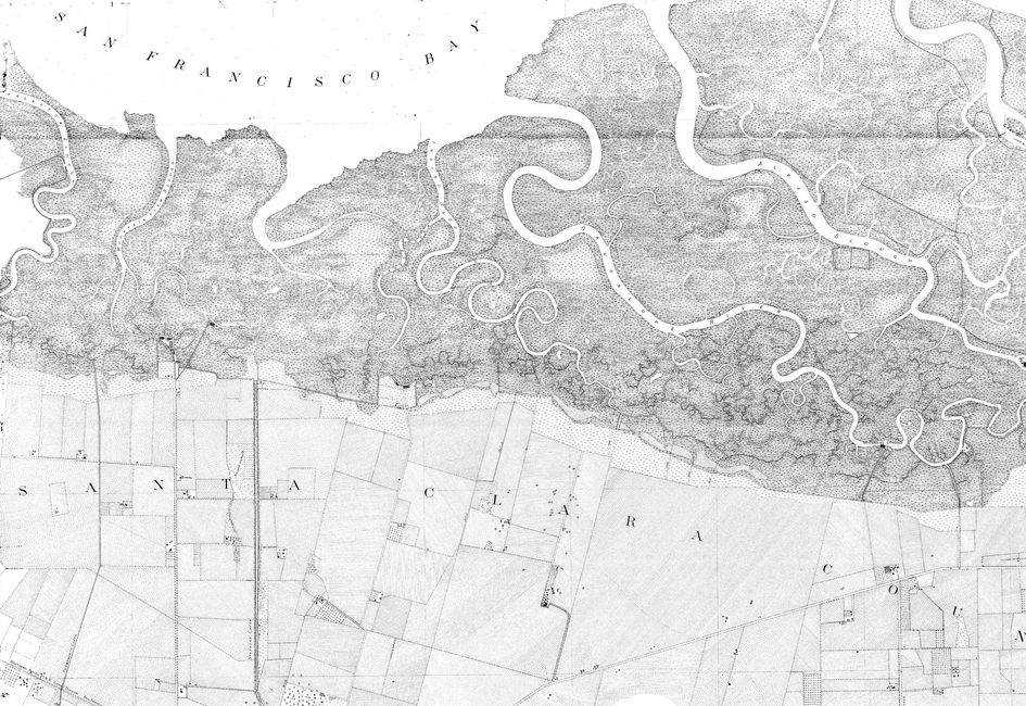
This guide discusses the historical maps of San Francisco Bay produced by the United States Coast Survey (USCS) and their application to present-day environmental efforts in the region. Under the direction of some of the leading American scientists of the 19th-century, the USCS created exceptionally accurate and detailed maps of the country’s coastline. In the San Francisco Bay Area, these surveys (commonly referred to as “T-sheets”) are the most important data sources for understanding the physical and ecological characteristics of the Bay’s shoreline prior to Euro-American modification.
Dates:
2007
Programs and Focus Areas:
Resilient Landscapes Program
Historical Ecology
Shoreline Resilience