Baylands and Creeks of South San Francisco Bay
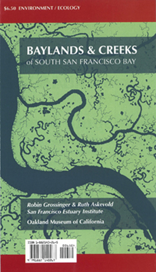
A map of historical habitats and channels in the South Bay.
Partners
Oakland Museum
William Lettis and Associates (WLA)
Santa Clara University Environmental Studies Institute
GIS Mapping and Analysis
Funders
Santa Clara Valley Water District
Cities of San José, Milpitas, Palo Alto, and Sunnyvale
Silicon Valley Pollution Prevention Center
U.S. Fish and Wildlife Service San Francisco Bay Program
U.S. Environmental Protection Agency (EPA) Region 9
San Francisco Estuary Project
The map can be purchased through the Oakland Museum Store
Download GIS Data
The Santa Clara Valley Water District's Watching Our Watersheds (WOW) project has adapted Historical Ecology data into Google Earth (KMZ) format. Adapted versions of SFEI's mapping of the South Bay are available for download:
San Francisquito Creek to Guadalupe Slough: Western Santa Clara Valley Historical (3 Mb)
Guadalupe Slough to Warm Springs/Mud Slough: Central Santa Clara Valley Historical (3 Mb)
Dates:
2008
Associated Data:
Programs and Focus Areas:
Resilient Landscapes Program
Historical Ecology
Shoreline Resilience