Southern California Wetland Mapping Project
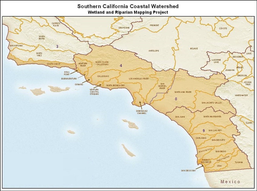
Southern California Coastal Research Watershed Project and CSU Northridge-Center for Geographical Studies are producing updated wetland, stream, and riparian maps for coastal watersheds in Southern California.
View the Wetland Mapping Project’s data online at EcoAltas or download the GIS dataset and the NWI mapping standards (used in this mapping project) from the project website here.
Funders:
Project Site:
Programs and Focus Areas:
Environmental Informatics Program
Geographic Information Systems
Wetland Monitoring & Assessment