USGS StreamStats API available in EcoAtlas
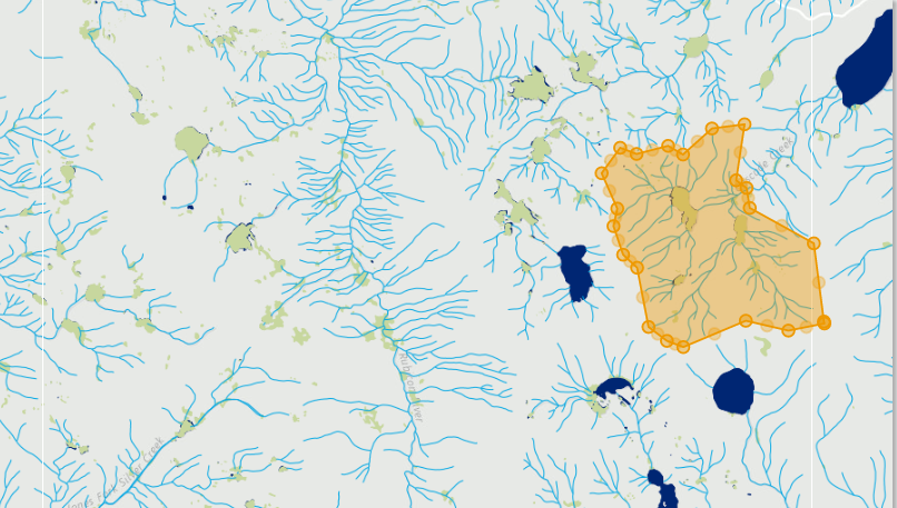
StreamStats is a web service provided by the US Geological Survey and used to delineate an upstream catchment from a user-defined pour point. In July 2015, USGS released a new version of their StreamStats, which was recently incorporated into EcoAtlas.
The Landscape Profile Tool allows users to define an area of interest and generate a report summarizing datasets within this area. In addition to drawing or importing a polygon and selecting a pre-defined area, StreamStats can be used to delineate a basin from a user-defined pour point for planning or management purposes. More information on StreamStats is located here.
Associated Staff


Shira Bezalel (former staff)