Riparian Area Mapping Tool
The National Resource Council (NRC) defines riparian as “areas through which surface and subsurface hydrology connect… and significantly influence exchanges of energy and matter”. The riparian area mapping tool (RAMT) was developed as a cost-effective way to map riparian extent as defined by the NRC.
Riparian areas provide valuable flood, pollution, and erosion control as well as habitat food web maintenance. The riparian vegetation process quantifies the extent to which contributions like allochthonous (arising from outside the system) organic matter input, leaves and woody debris, temperature control, and bank stability affect the adjacent water body.The hillslope riparian process quantifies the extent to which sediment input from landslides, etc. would affect the adjacent water body.
RAMT is modular in design, meaning that additional functions can be built off a foundation of core code. This model does not discriminate between high and low level influences on the adjacent water body, nor was it intended to replace on-the-ground empirical evaluations. It is instead intended to display the largest possible extent of riparian function based on the input data. RAMT is embedded in an ArcGIS 9.3x map file (mxd), and is run from ArcMap. Current efforts are being spent migrating the model to ArcGIS 10.x and working on new modules.
The inputs:
-elevation raster (DEM)
-vegetation shapefile (e.g. CalVeg)
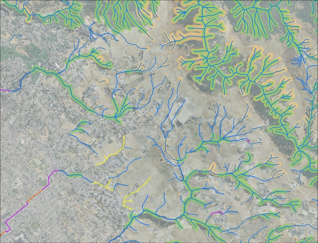
-streams shapefile
-wetlands shapefile
The products:
-riverine shapefile (user-defined bank-to-bank distance)
-functional vegetation riparian area shapefile*
-functional hillslope riparian area shapefile*
* includes fully dissolved non-attributed single-part shape and detailed multipart shape
| Attachment | Size |
|---|---|
| 2.53 MB |