South Santa Clara Valley Historical Ecology Study
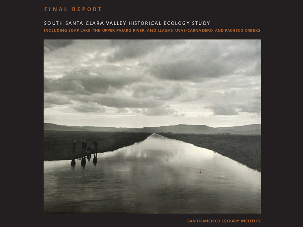
This study assesses historical conditions and landscape change in the southern part of the Santa Clara Valley. It is designed to inform strategies for natural flood protection, habitat conservation and restoration, and other management challenges. The project area is the valley floor of southern Santa Clara County (south of Morgan Hill) and northern San Benito County (the Soap Lake floodplain north of Shore Road) and includes the lower Uvas-Carnadero, Llagas and Pacheco creeks as well as the Pajaro River.
Along with research completed in the Coyote Creek Watershed and current research on western Santa Clara Valley, this project will provide comprehensive coverage of historical habitats for the entire Santa Clara County valley floor.
Project Status
Completed May 2008
Download the Report
- Executive Summary (6.81 MB)
Low resolution version
- Complete Report (26.39 MB)
High resolution version
- Chapter 1-2 Executive Summary, Introduction and General Methods (14.42 MB)
- Chapter 3 Land Use History (20.34 MB)
- Chapter 4 Streams (51.26 MB)
- Chapter 5 Wetlands (42.1 MB)
- Chapter 6 Oaks (33.12 MB)
- Chapter 7 Landscape Patterns (63.69 MB)
Download GIS Data
This dataset includes Santa Clara Valley and adjacent baylands
ESRI ArcMap 10 file geodatabase (.gdb) format
Historical Habitats, Channels and Distributaries. (15.1 MB)
The Santa Clara Valley Water District's Watching Our Watersheds (WOW) project has adapted Historical Ecology data into Google Earth (KMZ) format. An adapted version of SFEI's mapping of the Santa Clara Valley is available for download: Southern Santa Clara Valley Historical (4 Mb)
Dates:
2006 to 2008
Partners:
Associated Staff:
Associated Data:
Programs and Focus Areas:
Resilient Landscapes Program
Historical Ecology
Watershed Science & Management
Related Projects, News, and Events:

 Coyote Creek Watershed Historical Ecology Study (Project)
This report synthesizes historical evidence into a picture of how Coyote Creek looked and functioned before intensive modification. Prepared for the Santa Clara Valley Water District, the report helps explain contemporary landscape conditions and identify options for watershed restoration, natural flood protection, and integrated water management.
 Western Santa Clara Valley Historical Ecology Study (Project)
This study produced GIS layers and a report describing historical habitats in the Guadalupe, West Valley, and Lower Peninsula Watershed Management Areas of Santa Clara County (the valley floor from Palo Alto to San Jose).