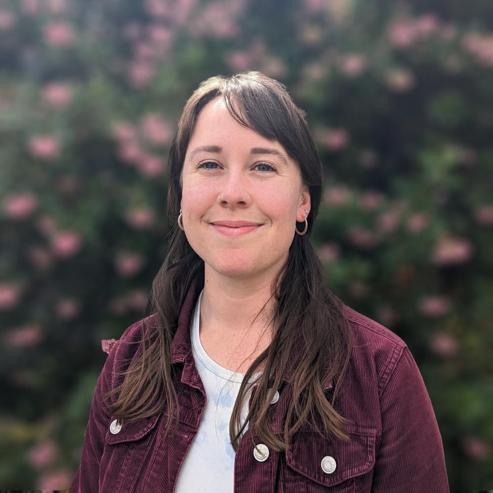
Katarina Palermo
Kat Palermo, MLA
Associate GIS Specialist
Environmental Informatics Program
Geographic Information Systems
Kat joined SFEI’s Environmental Informatics program as an Associate GIS Specialist in 2023. She has expertise in geospatial data analysis and remote sensing, and a background in landscape ecology and natural resource management. Kat’s work is informed by their passion to leverage spatial data science and programming to enhance social-ecological planning solutions for a changing climate. Kat earned a Masters in Landscape Architecture and Environmental Planning from UC Berkeley’s College of Environmental Design where she conducted research on the Los Angeles River’s novel avian habitats using remote sensing and community science data. Prior to joining SFEI, Kat worked in both public and private sector organizations with work centered on natural resource stewardship, planning and GIS analysis.
Related Projects, News, and Events
 Baylands Habitat Map 2020 (Project)
The Baylands Habitat Map 2020 will update the existing map of tidal marsh, tidal flats and diked baylands to incorporate the many changes in baylands distribution and abundance that have occurred over the last two decades. It will also include new information about land use and infrastructure that affects baylands restoration and management constraints and opportunities. To ensure the map is as up-to-date as possible, the project will develop procedures for ongoing local updates and change detection to cost-effectively maintain the basemap’s high value.
 California Aquatic Resource Inventory (CARI) (Project)
The California Aquatic Resources Inventory (CARI) is a Geographic Information System (GIS) based map of wetlands, streams, and riparian areas within California that is hosted online through EcoAtlas.

