SF Bay Nutrients Visualization Tool
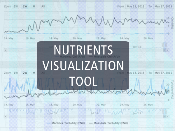
In July 2013, SFEI began continuous water quality monitoring for a number of nutrient-related parameters in San Francisco Bay, joining an existing network of sensors operated by several programs throughout the Bay and Delta. EnViz, a time-series visualization tool, was designed to facilitate intuitive comparison of continuous data from around the Bay, and across a variety of analytes, to demonstrate the potential for collaborative monitoring across programs. In this initial phase, we included data from SFEI and several USGS programs, but in the future hope to include data from additional programs in the region as well as allow users to download data to promote further investigations of observed trends.
USGS
Dumbarton Bridge, Exploratorium at Pier 17 and Mallard Island are a subset of the continuous monitoring stations operated and maintained by the USGS Bay and Delta Flows and Sediment group as part of the CA Water Science Center. All data at these sites are collected using a YSI 6920 multi-parameter sonde. At Dumbarton Bridge and Mallard Island, two sondes are deployed at different locations in the water column. Data (provided by USGS staff directly or downloaded from NWIS) have undergone a provisional amount of review according to USGS protocols. More information...
Delta Cross Channel, Cache Slough and Rio Vista at Decker Island are a subset of the continuous monitoring stations operated and maintained by the USGS Biogeochemistry group as part of the CA Water Science Center. All data at these sites are collected using a YSI EXO2 multi-parameter sonde and a Satlantic SUNAv2 (for nitrate). Data (provided by USGS staff directly or downloaded fromNWIS) have undergone a provisional amount of review according to USGS protocols. More information...
SFEI
Alviso Slough and Dumbarton Bridge are a subset of the continuous monitoring stations operated and maintained by SFEI as part of the San Francisco Bay Nutrient Management Strategy. All data are collected using a YSI EXO2 multi-parameter sonde. Outliers and periods of sensor fouling/malfunction are omitted from this site. For more information, contact David Senn ([email protected]).
DWR
Prisoner's Point, Martinez, Mossdale and Mallard Island are a subset of the continuous monitoring stations operated by the CA Department of Water Resources. All data are collected with a YSI 6600 multi-parameter sonde. Data were downloaded from the California Data Exchange Center and should be considered provisional. In order to be consistent with other agencies hosted on EnViz, chlorophyll-a data was converted from ug/L to RFU by dividing by 4 (per YSI recommendations). Access more information about DWR's real-time monitoring program.
Dates:
2013 to 2016
Project Site:
Programs and Focus Areas:
Nutrients
Environmental Informatics Program
Related Projects, News, and Events:
 Moored Sensor Monitoring Program for Nutrients (Project)
The indications of decreased Bay resilience to high nutrient loads have come to the fore at a time when the availability of resources to continue assessing the Bay’s condition is uncertain. The San Francisco Bay Regional Monitoring Program (RMP) has no independent nutrient‐related monitoring program, but instead contributes approximately 20% of the USGS data collection cost. Thus, there is currently an urgent need to lay the groundwork for a locally‐supported, long‐term monitoring program to provide information that is most needed to support management decisions in the Bay.
This Friday morning (6/21/2019) from 6am to 9am, there will be planned internet downtime at SFEI to improve our organization's bandwidth and service capacity for the many things we do for you.
The early-morning outage will impact the following sites/tools:
- EcoAtlas
- CD3
- CRAM
- Enviz
- Project Tracker
Thank you for your cooperation. If you have any questions or concerns, please let us know at [email protected].
 Will a cleaner San Francisco Bay be a more toxic one? (News)
Dr. David Senn's nutrients program is highlighted in the San Francisco Examiner as his work to measure and predict the effects of an ever-clearer San Francisco Bay again "come to light":
 New Reports Show Progress Toward Understanding Nutrient Impacts in the Bay (News)
SFEI scientists studying the role and effects of nutrients in the Bay recently completed two draft reports that summarize current knowledge of the issue.
 The launch of the SF Bay Nutrients Visualization Tool (News)
This visualization tool facilitates intuitive comparison of continuous data from around the Bay, and across a variety of analytes, to demonstrate the potential for collaborative monitoring across programs.