Recent workshop in the Lahontan region establishes an implementation roadmap for watershed-based decision support tools
Nov 18, 2015
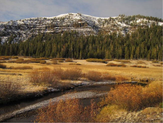
SFEI representatives Cristina Grosso and Josh Collins helped to foster the use of EcoAtlas and related tools in the Lahontan region during a recent workshop. The objective of the workshop was to train interested parties inside and outside of the Tahoe Basin on EcoAtlas’ watershed-based decision support tools. The workshop began with a presentation on the applications of watershed-based decision support tools in the regulatory context. A Technical Demo Session and Open Lab provided hands-on training for EcoAtlas’ planning (CARI/TARI, CARI Editor), tracking (Project Tracker), and visualization tools (Landscape Profile Tool).
The California Aquatic Resource Inventory (CARI) serves as the common statewide map in EcoAtlas and was developed using the best available data. The Tahoe Aquatic Resource Inventory (TARI) is one of several regional intensification efforts that used similar standardized mapping protocols. The CARI Editor enables individuals to submit suggested updates and additions of stream and wetland features.
Projects are on-the-ground efforts to improve or protect the abundance, diversity, or condition of wetlands or streams. Project Tracker provides easy-to-use online data entry forms for uploading and editing project information. Approved projects can be viewed within the context of other activities in EcoAtlas.
EcoAtlas integrates information to provide a landscape context for the condition and extent of California wetlands. The Landscape Profile Tool summarizes ecological information at various spatial scales for assessment, planning, and reporting.
The next workshop will be held in Spring 2016 and will focus on integrating EcoAtlas and the Tahoe Regional Planning Agency’s Environmental Improvement Program (EIP) Reporting Tool, which tracks activities within the Tahoe Basin related to EIP and TMDL implementation.
Associated Staff:
Programs and Focus Areas:
Environmental Informatics Program
Related Projects, News, and Events:
 Lahontan EcoAtlas Development (Project)
This project will create an EcoAtlas user community for the Lahontan region of the Sierra Nevada to develop capacities within the region to apply EcoAtlas through existing local, regional, state, and federal programs to track projects and summarize map-based and rapid assessment information at the watershed scale.